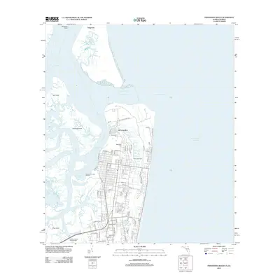
2012 Map of Fernandina Beach
USGS Topo · Published 2012About this map
Old Fernandina and the modern harbor districts of Amelia Island are defined by a complex network of coastal waterways including the Saint Marys River and Amelia River. This landscape reflects a deep maritime and industrial heritage, anchored by the Rayonier-Fernandina Mill Wharf and the historic Seaboard Air Line RR corridor. The transition from industrial waterfronts to protected land is visible at Fort Clinch State Park, while the inland reaches show a shift toward residential expansion near McClure Hill. Genealogists and local historians can find significant landmarks such as the Bosquebello Cem and the Amelia Island Light. Across the water to the north, the isolated settlement of Dungeness sits among the marshy expanses of Big Marsh Island, highlighting the contrast between developed port areas and the wilder tidal landscape of the Florida-Georgia border.
Find a feature on this map
97 named features on this map. Tap any name to fly to it.
Don’t see what you’re looking for? This feature index may not catch every label — zoom into the map to look around manually.
Map Details
Editions of this 2012 Fernandina Beach Map
This is the sole edition of this map. No revisions or reprints were ever made.
Other maps of this area

1918 · St Marys
USGS Topo · 1:62,500

1918 · Cumberland Island
USGS Topo · 1:62,500

1918 · Kingsland
USGS Topo · 1:62,500

1919 · Fernandina
USGS Topo · 1:62,500

1919 · St Marys
USGS Topo · 1:62,500

1930 · Cumberland Island
USGS Topo · 1:62,500

1944 · Fernandina
USGS Topo · 1:62,500

1945 · Cumberland Island
USGS Topo · 1:62,500

1948 · Jacksonville
USGS Topo · 1:250,000

1957 · Jacksonville
USGS Topo · 1:250,000