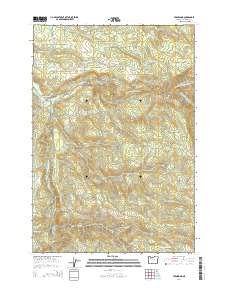
2014 Map of Fernwood
USGS Topo · Published 2014About this map
The North Fork Molalla River and the main stem of the Molalla River define the drainage patterns of this timbered landscape in Clackamas County. In the early 21st century, the small settlements of Fernwood and Glen Avon serve as the primary human hubs, connected by a network of forest and county roads such as S Callahan Rd and S Odeane Rd. The terrain is characterized by steep ridges and deep drainages, including the rugged Dead Horse Canyon Cr and the heights of Green Mountain. Water resources are abundant throughout the quadrangle, ranging from Beeres Pond in the south to numerous named tributaries like Trout Cr and Yelkis Cr. This area remains a critical watershed where legacy mill roads like S Haskins Mill Rd trace the history of the local timber economy.
Find a feature on this map
40 named features on this map. Tap any name to fly to it.
Don’t see what you’re looking for? This feature index may not catch every label — zoom into the map to look around manually.
Map Details
Editions of this 2014 Fernwood Map
This is the sole edition of this map. No revisions or reprints were ever made.
Other maps of this area

1916 · Estacada
USGS Topo · 1:125,000

1929 · Mill City
USGS Topo · 1:125,000

1939 · Molalla
USGS Topo · 1:62,500

1940 · Molalla
USGS Topo · 1:62,500

1948 · Vancouver
USGS Topo · 1:250,000

1950 · Vancouver
USGS Topo · 1:250,000

1950 · Vancouver
USGS Topo · 1:250,000

1951 · Lyons
USGS Topo · 1:62,500

1953 · Salem
USGS Topo · 1:250,000

1954 · Salem
USGS Topo · 1:250,000