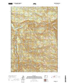
2020 Map of Fernwood
USGS Topo · Published 2020About this map
Fernwood and Glen Avon anchor this Clackamas County landscape, situated where the terrain begins its ascent into the Cascade foothills. The topography is defined by the complex drainage of the Molalla River and its various tributaries, including the North Fork Molalla River and N Fork Molalla River. A network of rural routes such as S Dickey Prairie Rd and S Haskins Hill Rd wind through the valleys, connecting scattered homesites to the watercourses. To the southeast, the elevation rises toward Green Mountain, with the map detailing several high-altitude ponds and streams like Beeres Pond and Shotgun Cr. The map captures the interface between managed forest lands and the rural residential outskirts of the Willamette Valley, illustrating how 20th-century road development followed the natural contours of steep canyons like Dead Horse Canyon Cr.
Find a feature on this map
37 named features on this map. Tap any name to fly to it.
Don’t see what you’re looking for? This feature index may not catch every label — zoom into the map to look around manually.
Map Details
Editions of this 2020 Fernwood Map
This is the sole edition of this map. No revisions or reprints were ever made.
Other maps of this area
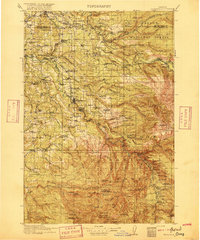
1916 · Estacada
USGS Topo · 1:125,000
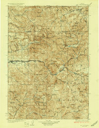
1929 · Mill City
USGS Topo · 1:125,000
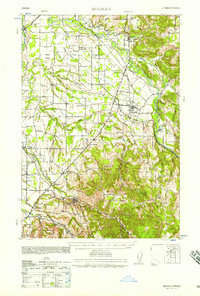
1939 · Molalla
USGS Topo · 1:62,500
1940 · Molalla
USGS Topo · 1:62,500

1948 · Vancouver
USGS Topo · 1:250,000
1950 · Vancouver
USGS Topo · 1:250,000
1950 · Vancouver
USGS Topo · 1:250,000
1951 · Lyons
USGS Topo · 1:62,500

1953 · Salem
USGS Topo · 1:250,000

1954 · Salem
USGS Topo · 1:250,000