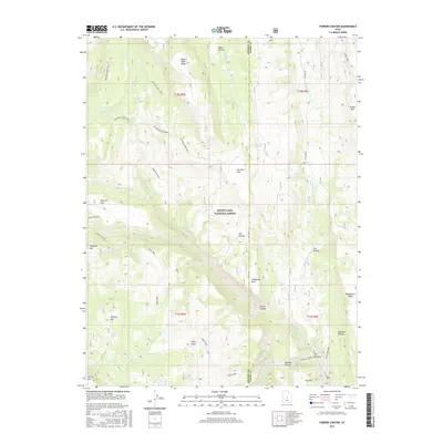
2017 Map of Ferron Canyon
USGS Topo · Published 2017About this map
The Wasatch Plateau dominates this portion of the Manti-LaSal National Forest, where steep canyons and high flats define the geography of the Sanpete and Emery county line. A network of high-elevation paths, including the Big Bear Creek Trail and the Dairy Trail, suggests a landscape long utilized for livestock movement and transit between the plateaus. Notable geological features like Steamboat Point and The Narrows overlook the winding Ferron Creek, while scattered water sources such as Lizard Lake and Lone Pine Spring provide critical points of interest in the arid terrain. The map follows the descent from peaks like Ferron Mtn down through Ferron Canyon, tracing the historic routes that connect the high timber and grazing lands to the valleys below.
Find a feature on this map
43 named features on this map. Tap any name to fly to it.
Don’t see what you’re looking for? This feature index may not catch every label — zoom into the map to look around manually.
Map Details
Editions of this 2017 Ferron Canyon Map
This is the sole edition of this map. No revisions or reprints were ever made.
Other maps of this area

1885 · Manti
USGS Topo · 1:250,000

1895 · Manti
USGS Topo · 1:250,000

1922 · Wasatch
USGS Topo · 1:31,680

1923 · Castle Dale
USGS Topo · 1:62,500

1923 · Hiawatha
USGS Topo · 1:62,500

1925 · Castle Dale
USGS Topo · 1:62,500

1925 · Hiawatha
USGS Topo · 1:62,500

1956 · Price
USGS Topo · 1:250,000

1960 · Price
USGS Topo · 1:250,000

1962 · Price
USGS Topo · 1:250,000