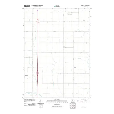
2010 Map of Fertile SE
USGS Topo · Published 2010About this map
Hanlontown sits at the western edge of this agricultural landscape in Worth County, just north of the Winnebago River valley. The map reveals a meticulous grid of rural routes including Wheelerwood Rd and Jonquil Ave, illustrating the highly organized township-and-range system characteristic of Northern Iowa. This network of roads connects several local burial grounds, which serve as important landmarks for genealogical research, such as Grandview Cemetery and the Elk Creek Number Two Cemetery.
Find a feature on this map
33 named features on this map. Tap any name to fly to it.
Don’t see what you’re looking for? This feature index may not catch every label — zoom into the map to look around manually.
Map Details
Editions of this 2010 Fertile SE Map
This is the sole edition of this map. No revisions or reprints were ever made.
Other maps of this area

1954 · Mason City
USGS Topo · 1:250,000

1957 · Mason City
USGS Topo · 1:250,000

1958 · Mason City
USGS Topo · 1:250,000

1959 · Mason City
USGS Topo · 1:24,000

1959 · Mason City
USGS Topo · 1:62,500

1972 · Clear Lake West
USGS Topo · 1:24,000

1972 · Manly
USGS Topo · 1:24,000

1972 · Fertile
USGS Topo · 1:24,000

1972 · Northwood
USGS Topo · 1:24,000

1972 · Fertile NE
USGS Topo · 1:24,000