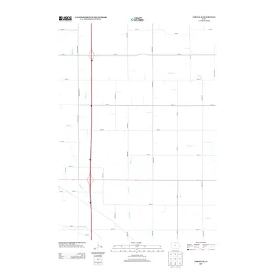
2013 Map of Fertile SE
USGS Topo · Published 2013About this map
The Winnebago River anchors the southern edge of this North Central Iowa landscape, flowing through a region defined by its deliberate grid of section-line roads and drainage network. During this early twenty-first-century period, the territory is characterized by fertile agricultural plots divided by a systematic naming convention for north-south avenues and east-west streets, such as Jonquil Ave and 400th St. Several distinct drainage basins converge here, with Beaver Cr, Wharam Cr, and Willow Cr carving subtle paths through the terrain. The presence of avian-themed thoroughfares like Mallard Ave and Gull Ave reflects the modern rural road management of Worth County, while the underlying hydrography remains the most significant natural feature for researchers studying the local watershed and historical land use.
Find a feature on this map
32 named features on this map. Tap any name to fly to it.
Don’t see what you’re looking for? This feature index may not catch every label — zoom into the map to look around manually.
Map Details
Editions of this 2013 Fertile SE Map
This is the sole edition of this map. No revisions or reprints were ever made.
Other maps of this area

1954 · Mason City
USGS Topo · 1:250,000

1957 · Mason City
USGS Topo · 1:250,000

1958 · Mason City
USGS Topo · 1:250,000

1959 · Mason City
USGS Topo · 1:24,000

1959 · Mason City
USGS Topo · 1:62,500

1972 · Clear Lake West
USGS Topo · 1:24,000

1972 · Manly
USGS Topo · 1:24,000

1972 · Fertile
USGS Topo · 1:24,000

1972 · Northwood
USGS Topo · 1:24,000

1972 · Fertile NE
USGS Topo · 1:24,000