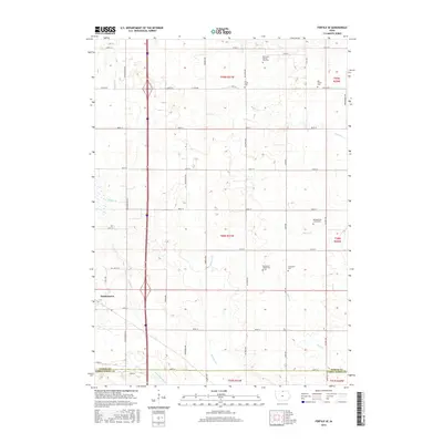
2015 Map of Fertile SE
USGS Topo · Published 2015About this map
Hanlontown serves as the primary hub in this northern Iowa landscape, situated just north of the Worth Co Cerro Gordo Co line. The map reveals a high density of small-scale burial sites and cemeteries, which are invaluable for genealogical research in this rural corridor. Notable locations include the Benjegerdes Family Plot and Trebilcock Family Plot, alongside larger established grounds like Grandview Cem and Elk Creek Cem.
Find a feature on this map
46 named features on this map. Tap any name to fly to it.
Don’t see what you’re looking for? This feature index may not catch every label — zoom into the map to look around manually.
Map Details
Editions of this 2015 Fertile SE Map
This is the sole edition of this map. No revisions or reprints were ever made.
Other maps of this area

1954 · Mason City
USGS Topo · 1:250,000

1957 · Mason City
USGS Topo · 1:250,000

1958 · Mason City
USGS Topo · 1:250,000

1959 · Mason City
USGS Topo · 1:24,000

1959 · Mason City
USGS Topo · 1:62,500

1972 · Clear Lake West
USGS Topo · 1:24,000

1972 · Manly
USGS Topo · 1:24,000

1972 · Fertile
USGS Topo · 1:24,000

1972 · Northwood
USGS Topo · 1:24,000

1972 · Fertile NE
USGS Topo · 1:24,000