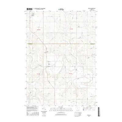
2015 Map of Festina
USGS Topo · Published 2015About this map
The Turkey River and Little Turkey River define the winding geography of this section of Fayette and Winneshiek Counties. At the northern edge, the settlement of Festina is home to the Saint Marys Cem and the uniquely named Smallest Church Cem, highlighting the area's deep-rooted parochial history. Further south, the community of Eldorado sits near the Eldorado Bridge, serving as a focal point for the surrounding farmsteads connected by a dense grid of section roads like Lincoln Rd and Nature Rd. The landscape is dotted with several rural burial grounds, including Stavanger Cem and Auburn Township Cem, which offer significant value for genealogists tracing family names in Douglass and Auburn Townships. This 2015 survey provides a modern look at a traditional Iowa river valley where the layout of local cemeteries and watercourses remains central to the identity of the land.
Find a feature on this map
64 named features on this map. Tap any name to fly to it.
Don’t see what you’re looking for? This feature index may not catch every label — zoom into the map to look around manually.
Map Details
Editions of this 2015 Festina Map
This is the sole edition of this map. No revisions or reprints were ever made.
Other maps of this area

1901 · Oelwein
USGS Topo · 1:125,000

1906 · Decorah
USGS Topo · 1:125,000

1958 · La Crosse
USGS Topo · 1:250,000

1959 · Dubuque
USGS Topo · 1:250,000

1961 · Dubuque
USGS Topo · 1:250,000

1961 · La Crosse
USGS Topo · 1:250,000

1962 · Dubuque
USGS Topo · 1:250,000

1965 · La Crosse
USGS Topo · 1:250,000

1965 · Elgin
USGS Topo · 1:24,000

1975 · Decorah 4 NW
USGS Topo · 1:24,000