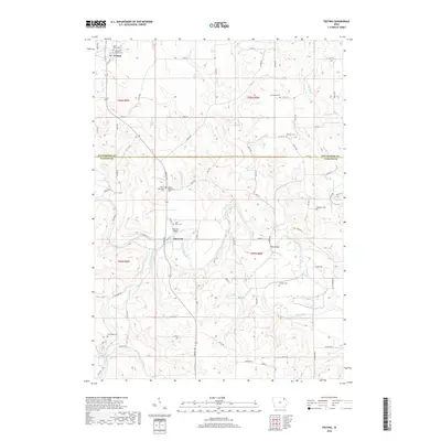
2018 Map of Festina
USGS Topo · Published 2018About this map
The Turkey River and Little Turkey River define the rolling landscape of this borderland between Winneshiek and Fayette Counties. The settlement of Festina sits at the northern edge near Brockamp Cr, while Eldorado occupies the central valley where the Eldorado Bridge crosses the water. A high density of rural burial grounds, including the Stavanger Cem, Bethany Cem, and George Cem, provides a detailed record of the families who settled these townships.
Find a feature on this map
74 named features on this map. Tap any name to fly to it.
Don’t see what you’re looking for? This feature index may not catch every label — zoom into the map to look around manually.
Map Details
Editions of this 2018 Festina Map
This is the sole edition of this map. No revisions or reprints were ever made.
Other maps of this area

1901 · Oelwein
USGS Topo · 1:125,000

1906 · Decorah
USGS Topo · 1:125,000

1958 · La Crosse
USGS Topo · 1:250,000

1959 · Dubuque
USGS Topo · 1:250,000

1961 · Dubuque
USGS Topo · 1:250,000

1961 · La Crosse
USGS Topo · 1:250,000

1962 · Dubuque
USGS Topo · 1:250,000

1965 · La Crosse
USGS Topo · 1:250,000

1965 · Elgin
USGS Topo · 1:24,000

1975 · Decorah 4 NW
USGS Topo · 1:24,000