
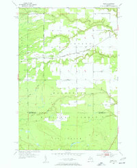
1953 Map of Fibre
USGS Topo · Published 1955About this map
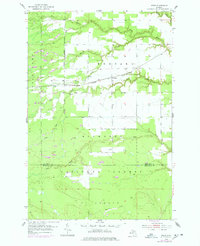
The Minneapolis St Paul and Sault Ste Marie railroad cuts a straight path through the heart of this Upper Peninsula landscape, connecting the small rail stops of Fibre and Dryburg. This mid-century survey reveals a territory defined by its complex drainage systems and the wooded expanse of the Marquette National Forest. The terrain is deeply etched by a network of waterways including the Pine River, Biscuit Creek, and Bear Creek, which transition into the more southern drainages of Chub Creek and Elmhirst Creek as one crosses the Chippewa Co Mackinac Co line. The distribution of clearings and structures suggests a sparse, resource-based economy where small clusters of settlement cling to the rail corridor and established county roads, surrounded by the dense timber and marshlands characteristic of the eastern Upper Peninsula.
Find a feature on this map
13 named features on this map. Tap any name to fly to it.
Don’t see what you’re looking for? This feature index may not catch every label — zoom into the map to look around manually.
Map Details
Editions of this 1953 Fibre Map
Other maps of this area

1931 · Ozark SE
USGS Topo · 1:31,680

1941 · Strongs
USGS Topo · 1:63,360

1941 · Brimley
USGS Topo · 1:63,360

1951 · Sullivan Creek
USGS Topo · 1:24,000

1951 · Raco
USGS Topo · 1:24,000

1951 · Kinross
USGS Topo · 1:24,000

1951 · Brimley
USGS Topo · 1:62,500

1951 · Strongs
USGS Topo · 1:62,500
1953 · Rudyard
USGS Topo · 1:24,000

1954 · Sault Sainte Marie
USGS Topo · 1:250,000