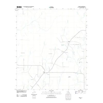
2012 Map of Fields
USGS Topo · Published 2012About this map
The settlement of Fields and the nearby community of Mystic anchor this 2012 survey of southwestern Louisiana, where a network of oil extraction sites defines the local economy and land use. Scattered throughout the piney lowlands and marshes are significant industrial tracts, including the North Fields Oil Field, Bear Head Creek Oil Field, and the East Bancroft Oil Field. The landscape is etched with numerous named waterways and gullies such as Windham Cr, Johns Gully, and White Oak Gully, which drain toward Bear Head Cr.
Find a feature on this map
51 named features on this map. Tap any name to fly to it.
Don’t see what you’re looking for? This feature index may not catch every label — zoom into the map to look around manually.
Map Details
Editions of this 2012 Fields Map
This is the sole edition of this map. No revisions or reprints were ever made.
Other maps of this area

1935 · Wilson Lake
USGS Topo · 1:31,680

1947 · Singer
USGS Topo · 1:31,680

1947 · Carter Creek
USGS Topo · 1:31,680

1947 · DeQuincy
USGS Topo · 1:31,680

1947 · Oretta
USGS Topo · 1:31,680

1947 · Wilson Lake
USGS Topo · 1:31,680

1947 · Hyatt
USGS Topo · 1:31,680

1947 · Bivens
USGS Topo · 1:31,680

1947 · Long Marsh
USGS Topo · 1:31,680

1949 · Bancroft
USGS Topo · 1:31,680