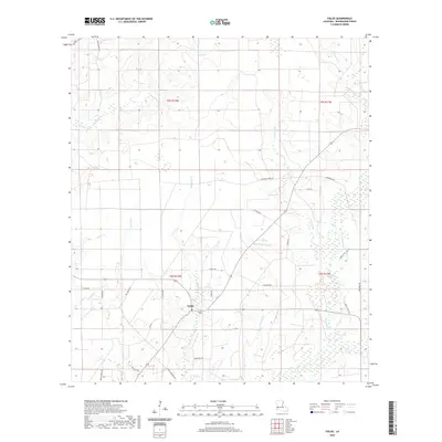
2020 Map of Fields
USGS Topo · Published 2020About this map
Fields serves as the primary settlement hub within this section of Beauregard Parish, situated at a crossroads where agricultural access roads branch into the surrounding timberlands and wetlands. The landscape is defined by an intricate network of drainage systems, including the meandering Bear Head Cr and numerous named gullies such as Johns Gully and Paul Burns Gully. These waterways feed into marshy areas like Buxton Marsh and smaller bodies of water like Spikes Lake. The road network, including School Rd and Hyatt Cemetery Rd, reflects a history of rural family homesteads and local infrastructure. This 2020 data highlights the modern transition of the southwestern Louisiana interior, where traditional names like Raymond Spikes Rd and Gus Smith Rd preserve the local genealogy of the land even as the natural environment remains a dominant force.
Find a feature on this map
40 named features on this map. Tap any name to fly to it.
Don’t see what you’re looking for? This feature index may not catch every label — zoom into the map to look around manually.
Map Details
Editions of this 2020 Fields Map
This is the sole edition of this map. No revisions or reprints were ever made.
Other maps of this area

1935 · Wilson Lake
USGS Topo · 1:31,680

1947 · Singer
USGS Topo · 1:31,680

1947 · Carter Creek
USGS Topo · 1:31,680

1947 · DeQuincy
USGS Topo · 1:31,680

1947 · Oretta
USGS Topo · 1:31,680

1947 · Wilson Lake
USGS Topo · 1:31,680

1947 · Hyatt
USGS Topo · 1:31,680

1947 · Bivens
USGS Topo · 1:31,680

1947 · Long Marsh
USGS Topo · 1:31,680

1949 · Bancroft
USGS Topo · 1:31,680