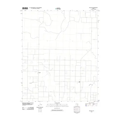
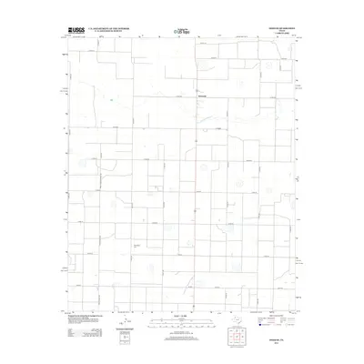
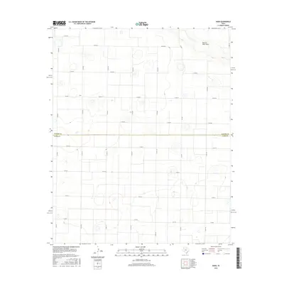
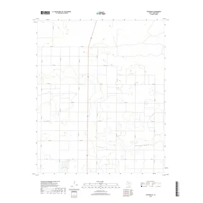
2022 Map of Fieldton
USGS Topo · Published 2022About this map
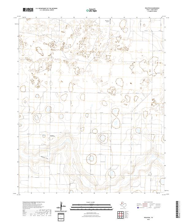
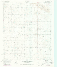
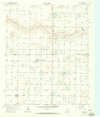
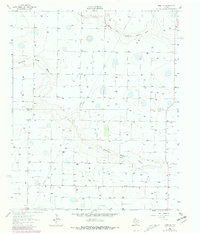
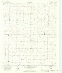
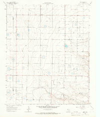
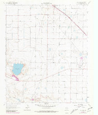
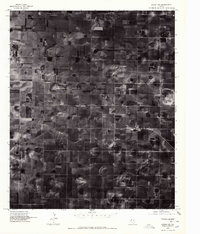
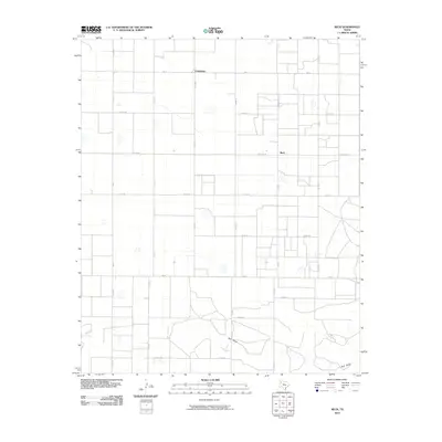
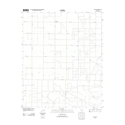
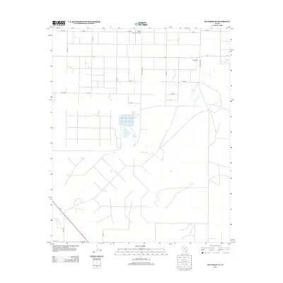
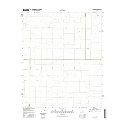
Fieldton serves as the primary settlement hub in this part of Lamb County, where the agricultural grid of the Texas South Plains meets the distinct topography of Blackwater Draw. The draw carves a meandering path across the lower third of the landscape, creating a contrast to the surrounding section-line roads and circular irrigation patterns typical of this cotton-producing region. Transport across the plains is facilitated by a network of farm-to-market roads, including Fm 37, Fm 1072, and Fm 168, which link the small community to the broader county. In the northern reaches, the Rose Ranch Airport indicates the role of private aviation in managing these expansive ranching and farming operations. The map provides a clear look at how modern land use, defined by roads like Co Rd 192 and Co Rd 247, has been overlaid upon the natural drainage basins of the Panhandle.
Find a feature on this map
23 named features on this map. Tap any name to fly to it.
Don’t see what you’re looking for? This feature index may not catch every label — zoom into the map to look around manually.
Map Details
Editions of this 2022 Fieldton Map
This is the sole edition of this map. No revisions or reprints were ever made.
Historical Maps of Fieldton Through Time
55 maps found
1962 Cofferville
Lamb County, TX
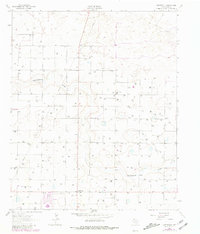
1962 Fieldton
Lamb County, TX
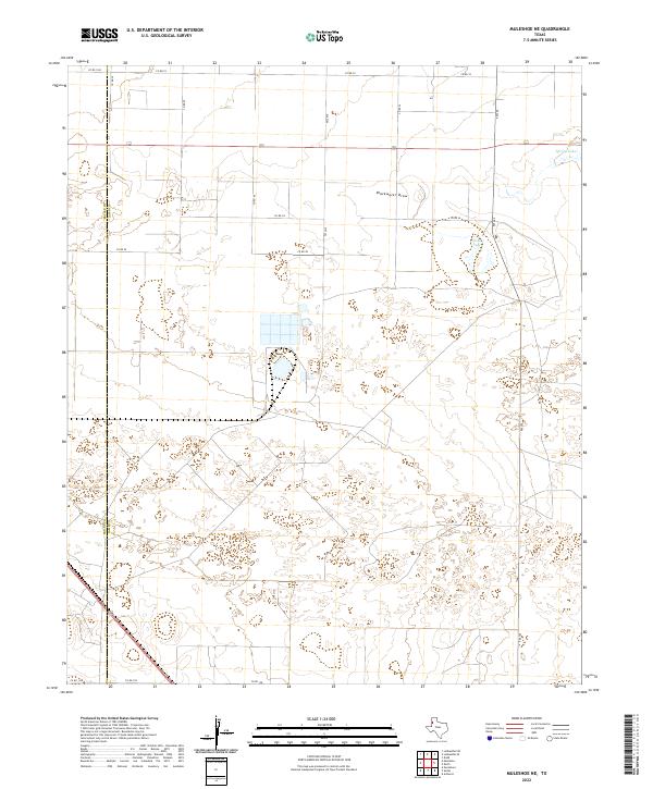
1962 Muleshoe NE
Lamb County, TX
1963 Dodd
Lamb County, TX
1963 Dodd SE
Lamb County, TX
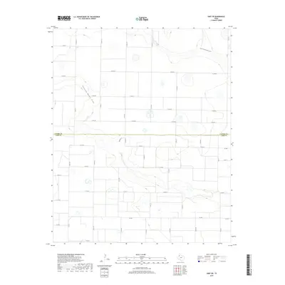
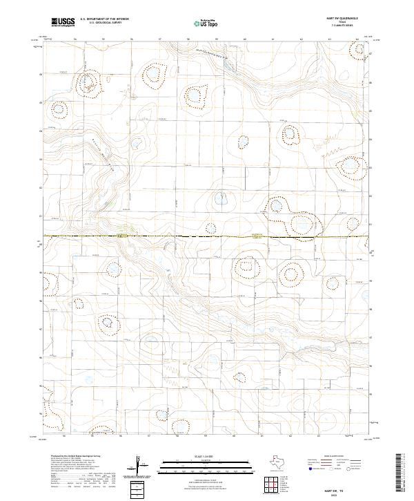
1963 Hart SW
Lamb County, TX
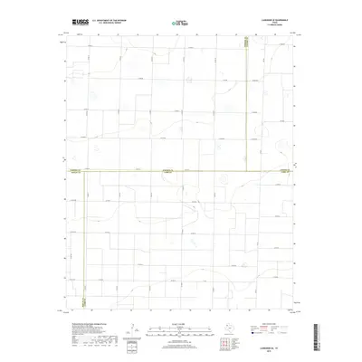
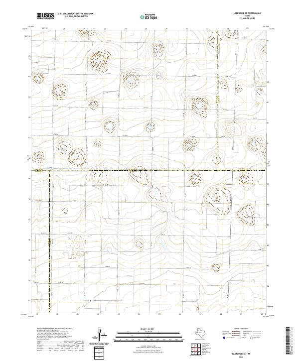
1963 Lazbuddie SE
Lamb County, TX
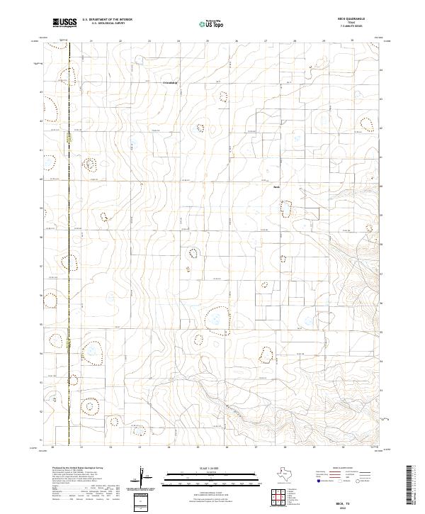
1964 Beck
Lamb County, TX
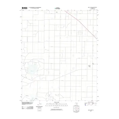
1964 Bull Lake
Lamb County, TX
1976 Anton NW
Lamb County, TX
2010 Beck
Lamb County, TX
2010 Bull Lake
Lamb County, TX
2010 Cofferville
Lamb County, TX
2010 Dodd
Lamb County, TX
2010 Dodd SE
Lamb County, TX
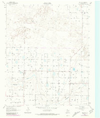
2010 Fieldton
Lamb County, TX
2010 Hart SW
Lamb County, TX
2010 Lazbuddie SE
Lamb County, TX
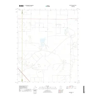
2010 Muleshoe NE
Lamb County, TX
2012 Beck
Lamb County, TX
2012 Bull Lake
Lamb County, TX
2012 Cofferville
Lamb County, TX
2012 Dodd
Lamb County, TX
2012 Dodd SE
Lamb County, TX
2012 Fieldton
Lamb County, TX
2012 Hart SW
Lamb County, TX
2012 Lazbuddie SE
Lamb County, TX
2012 Muleshoe NE
Lamb County, TX
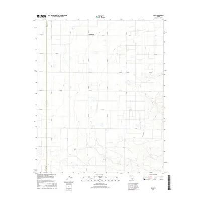
2016 Beck
Lamb County, TX
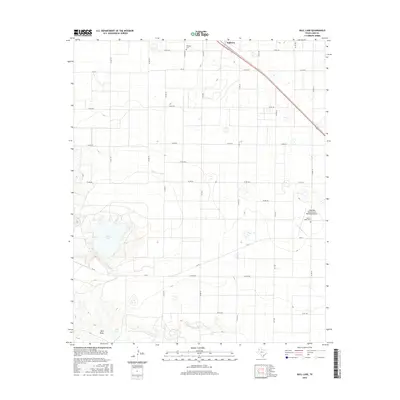
2016 Bull Lake
Lamb County, TX
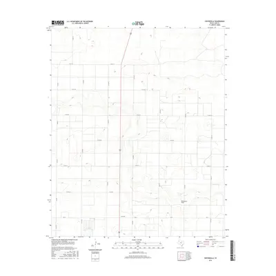
2016 Cofferville
Lamb County, TX
2016 Dodd
Lamb County, TX
2016 Dodd SE
Lamb County, TX
2016 Fieldton
Lamb County, TX
2016 Hart SW
Lamb County, TX
2016 Lazbuddie SE
Lamb County, TX
2016 Muleshoe NE
Lamb County, TX
2019 Beck
Lamb County, TX
2019 Bull Lake
Lamb County, TX
2019 Cofferville
Lamb County, TX
2019 Dodd
Lamb County, TX
2019 Dodd SE
Lamb County, TX
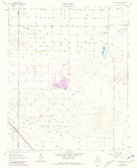
2019 Fieldton
Lamb County, TX
2019 Hart SW
Lamb County, TX
2019 Lazbuddie SE
Lamb County, TX
2019 Muleshoe NE
Lamb County, TX
2022 Beck
Lamb County, TX
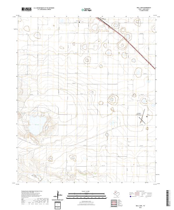
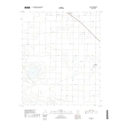
2022 Bull Lake
Lamb County, TX
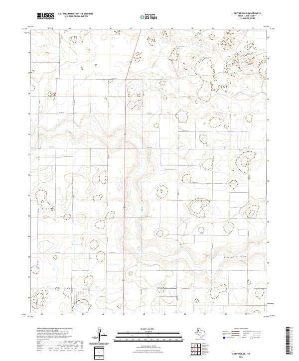
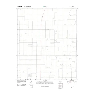
2022 Cofferville
Lamb County, TX
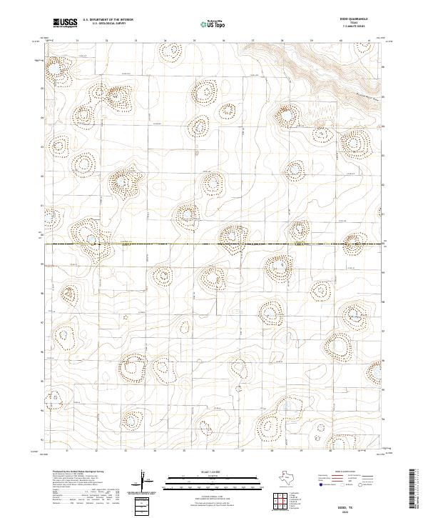
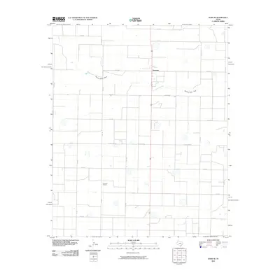
2022 Dodd
Lamb County, TX
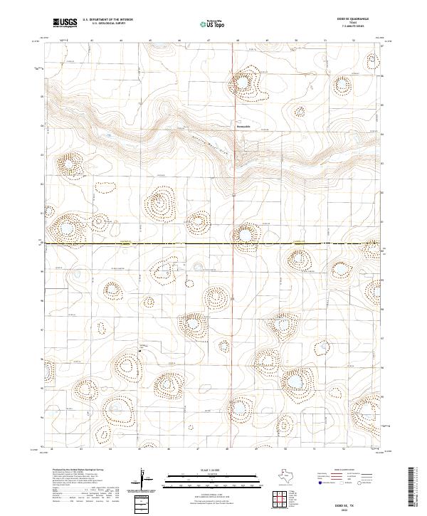
2022 Dodd SE
Lamb County, TX
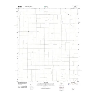
2022 Fieldton
Lamb County, TX
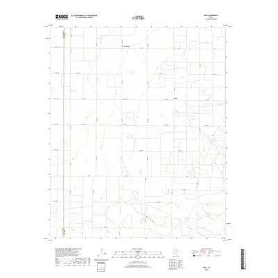
2022 Hart SW
Lamb County, TX
2022 Lazbuddie SE
Lamb County, TX
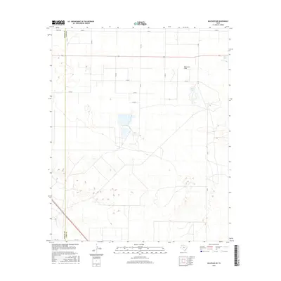
2022 Muleshoe NE
Lamb County, TX