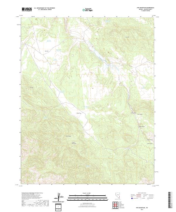
2021 Map of Fife Mountain
USGS Topo · Published 2021About this map
The high-desert terrain of the Clover Mountains dominates this Lincoln County landscape, centered on the prominent peak of Fife Mtn. Water management is the primary human footprint shown, with several catchments such as South Canyon Reservoir, Three Points Reservoir, and Cliff Reservoir distributed across the high basins. These features, along with names like Sheep Flat and Fife Flat, suggest a history of seasonal grazing in this corner of Nevada.
Find a feature on this map
26 named features on this map. Tap any name to fly to it.
Don’t see what you’re looking for? This feature index may not catch every label — zoom into the map to look around manually.
Map Details
Editions of this 2021 Fife Mountain Map
This is the sole edition of this map. No revisions or reprints were ever made.
Other maps of this area

1885 · Pioche
USGS Topo · 1:250,000

1886 · Pioche
USGS Topo · 1:250,000

1954 · Caliente
USGS Topo · 1:250,000

1959 · Caliente
USGS Topo · 1:250,000
1972 · Acoma
USGS Topo · 1:24,000
1972 · Eccles
USGS Topo · 1:24,000
1972 · Islen
USGS Topo · 1:24,000

1973 · Ella Mountain
USGS Topo · 1:24,000
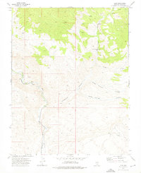
1973 · Leith
USGS Topo · 1:24,000
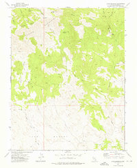
1973 · Jacks Mountain
USGS Topo · 1:24,000