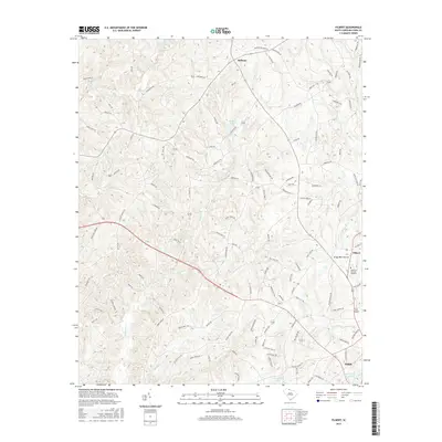
2017 Map of Filbert
USGS Topo · Published 2017About this map
York sits at the southern edge of this York County landscape, where the northern outskirts of the city transition into the Piedmont's characteristic creek-dissected hills. The area is defined by a dense network of watercourses including Bullock Cr, Allison Cr, and Turkey Cr, punctuated by small impoundments like Adams Lake and Caldwell Lake. The northern portion of the map centers on the community of Bethany, while the east is marked by the settlement of Filbert. A blend of agricultural tradition and modern infrastructure is evident in the presence of Kings Mtn Church alongside the York Airport. This era shows significant suburban road development, with family-named routes such as Beamguard Rd and Tart Rd threading through the rural parcels and timberlands that still dominate much of the quadrangle north of the city center.
Find a feature on this map
118 named features on this map. Tap any name to fly to it.
Don’t see what you’re looking for? This feature index may not catch every label — zoom into the map to look around manually.
Map Details
Editions of this 2017 Filbert Map
This is the sole edition of this map. No revisions or reprints were ever made.
Other maps of this area

1906 · Kings Mountain
USGS Topo · 1:62,500

1907 · Sharon
USGS Topo · 1:62,500

1908 · Kings Mountain
USGS Topo · 1:62,500

1941 · Spartanburg
USGS Topo · 1:250,000

1947 · Clover
USGS Topo · 1:62,500

1949 · Clover
USGS Topo · 1:62,500

1949 · Rock Hill
USGS Topo · 1:62,500

1953 · Spartanburg
USGS Topo · 1:250,000

1953 · Charlotte
USGS Topo · 1:250,000

1954 · Charlotte
USGS Topo · 1:250,000