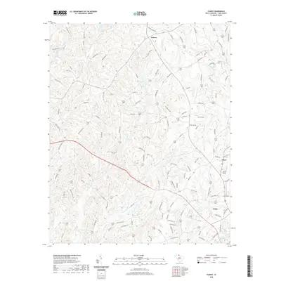
2020 Map of Filbert
USGS Topo · Published 2020About this map
York serves as the focal point for this section of York County, South Carolina, where the landscape is defined by the convergence of several major creek systems. The city's northern outskirts transition into a network of small settlements and landmarks, including the nearby community of Filbert and the regional York Airport. Moving west toward the village of Bethany, the terrain is heavily dissected by watercourses such as Bullock Cr and Buckhorn Cr, with many roads like Ramah Church Rd and Enon Church Rd reflecting the area's deep-rooted congregational history. This modern survey illustrates how infrastructure and family-named roads have developed around established water bodies like Adams Lake and Lake York, preserving a pattern of rural land use that persists alongside the growing town limits.
Find a feature on this map
119 named features on this map. Tap any name to fly to it.
Don’t see what you’re looking for? This feature index may not catch every label — zoom into the map to look around manually.
Map Details
Editions of this 2020 Filbert Map
This is the sole edition of this map. No revisions or reprints were ever made.
Other maps of this area

1906 · Kings Mountain
USGS Topo · 1:62,500

1907 · Sharon
USGS Topo · 1:62,500

1908 · Kings Mountain
USGS Topo · 1:62,500

1941 · Spartanburg
USGS Topo · 1:250,000

1947 · Clover
USGS Topo · 1:62,500

1949 · Clover
USGS Topo · 1:62,500

1949 · Rock Hill
USGS Topo · 1:62,500

1953 · Spartanburg
USGS Topo · 1:250,000

1953 · Charlotte
USGS Topo · 1:250,000

1954 · Charlotte
USGS Topo · 1:250,000