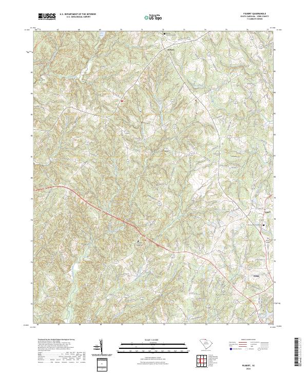
2024 Map of Filbert
USGS Topo · Published 2024About this map
Bethany and Filbert anchor the landscape north of York, where the Piedmont terrain is defined by a dense network of tributaries including Bullock Creek, Allison Creek, and Fishing Creek. This 2024 survey documents the contemporary rural and suburban character of York County, capturing both modern infrastructure like the York Airport and longstanding community landmarks. Genealogists will find particular value in the clearly marked Bethany Church Graveyard, Beersheba Church Graveyard, and Lakeview Memory Gardens, which serve as vital spatial records for local family history research.
Find a feature on this map
130 named features on this map. Tap any name to fly to it.
Don’t see what you’re looking for? This feature index may not catch every label — zoom into the map to look around manually.
Map Details
Editions of this 2024 Filbert Map
This is the sole edition of this map. No revisions or reprints were ever made.
Other maps of this area

1906 · Kings Mountain
USGS Topo · 1:62,500

1907 · Sharon
USGS Topo · 1:62,500

1908 · Kings Mountain
USGS Topo · 1:62,500

1941 · Spartanburg
USGS Topo · 1:250,000

1947 · Clover
USGS Topo · 1:62,500

1949 · Clover
USGS Topo · 1:62,500

1949 · Rock Hill
USGS Topo · 1:62,500

1953 · Spartanburg
USGS Topo · 1:250,000

1953 · Charlotte
USGS Topo · 1:250,000

1954 · Charlotte
USGS Topo · 1:250,000