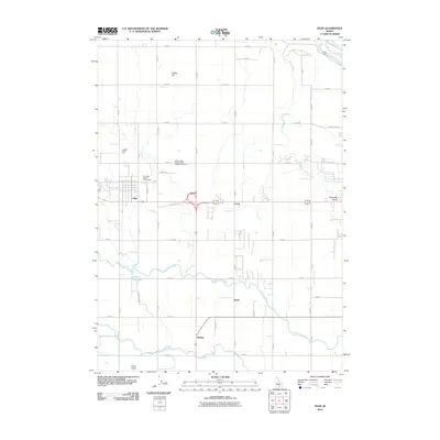
2010 Map of Filer
USGS Topo · Published 2010About this map
Twin Falls County Fairgrounds serves as a prominent landmark on the western edge of Filer, highlighting the agricultural roots and community center of this Idaho region. The landscape is defined by an extensive irrigation network, with the Low Line Canal and High Line Canal carving through the plains to support the local economy. These man-made water systems intersect natural features like Rock Creek and Cedar Draw, which flow toward the canyon of the Snake River visible in the northeast corner.
Find a feature on this map
41 named features on this map. Tap any name to fly to it.
Don’t see what you’re looking for? This feature index may not catch every label — zoom into the map to look around manually.
Map Details
Editions of this 2010 Filer Map
This is the sole edition of this map. No revisions or reprints were ever made.
Other maps of this area

1950 · Niagara Springs
USGS Topo · 1:24,000

1950 · Filer
USGS Topo · 1:24,000

1950 · Jerome
USGS Topo · 1:24,000

1950 · Jerome
USGS Topo · 1:62,500

1951 · Clover
USGS Topo · 1:24,000

1955 · Twin Falls
USGS Topo · 1:250,000

1958 · Twin Falls
USGS Topo · 1:250,000

1964 · Falls City
USGS Topo · 1:24,000

1964 · Twin Falls
USGS Topo · 1:24,000

1965 · Berger
USGS Topo · 1:24,000