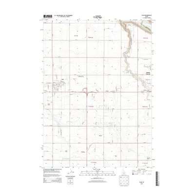
2013 Map of Filer
USGS Topo · Published 2013About this map
The town of Filer serves as the heart of this agricultural region in the early twenty-first century, characterized by an extensive network of irrigation infrastructure including the Low Line Canal and High Line Canal. This system of water management transforms the arid terrain near the Snake River into productive farmland. The map identifies specific community landmarks such as the Twin Falls County Fairgrounds and the Independent Order of Odd Fellows Cem, alongside smaller settlements like Godwin, Curry, and Knull.
Find a feature on this map
92 named features on this map. Tap any name to fly to it.
Don’t see what you’re looking for? This feature index may not catch every label — zoom into the map to look around manually.
Map Details
Editions of this 2013 Filer Map
This is the sole edition of this map. No revisions or reprints were ever made.
Other maps of this area

1950 · Niagara Springs
USGS Topo · 1:24,000

1950 · Filer
USGS Topo · 1:24,000

1950 · Jerome
USGS Topo · 1:24,000

1950 · Jerome
USGS Topo · 1:62,500

1951 · Clover
USGS Topo · 1:24,000

1955 · Twin Falls
USGS Topo · 1:250,000

1958 · Twin Falls
USGS Topo · 1:250,000

1964 · Falls City
USGS Topo · 1:24,000

1964 · Twin Falls
USGS Topo · 1:24,000

1965 · Berger
USGS Topo · 1:24,000