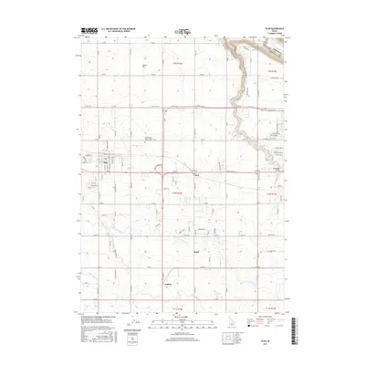
2017 Map of Filer
USGS Topo · Published 2017About this map
Agricultural development and irrigation infrastructure define the landscape around Filer, where the high desert meets the northern canyon of the Snake River. The town's grid is centered near the intersection of Main St and Addison Ave W, serving as a hub for the surrounding settlements of Curry, Knull, and Godwin. A complex network of water management, including the High Line Canal, Low Line Canal, and Cedar Draw Lake, illustrates the engineered transformation of this Snake River Plain region for farming. To the north, the terrain drops dramatically into the river canyon near Deadman Gulch, while the Independent Order of Odd Fellows Cem remains a significant local landmark for genealogical research. The map also captures the path of Rock Cr and the broad expanse of Sucker Flat, documenting the rural character and land use patterns of Twin Falls County.
Find a feature on this map
58 named features on this map. Tap any name to fly to it.
Don’t see what you’re looking for? This feature index may not catch every label — zoom into the map to look around manually.
Map Details
Editions of this 2017 Filer Map
This is the sole edition of this map. No revisions or reprints were ever made.
Other maps of this area

1950 · Niagara Springs
USGS Topo · 1:24,000

1950 · Filer
USGS Topo · 1:24,000

1950 · Jerome
USGS Topo · 1:24,000

1950 · Jerome
USGS Topo · 1:62,500

1951 · Clover
USGS Topo · 1:24,000

1955 · Twin Falls
USGS Topo · 1:250,000

1958 · Twin Falls
USGS Topo · 1:250,000

1964 · Falls City
USGS Topo · 1:24,000

1964 · Twin Falls
USGS Topo · 1:24,000

1965 · Berger
USGS Topo · 1:24,000