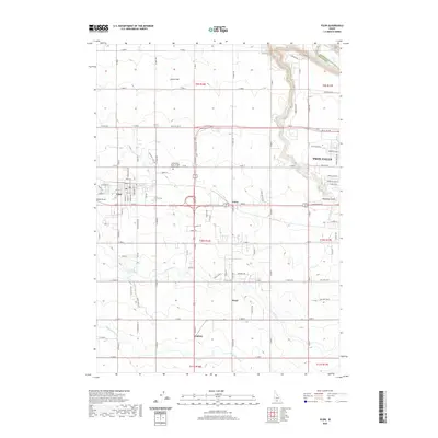
2020 Map of Filer
USGS Topo · Published 2020About this map
The agricultural landscape of the Magic Valley defines this region west of Twin Falls, where the desert has been transformed by a vast irrigation network. Gravity-fed water systems like the Low Line Canal and High Line Canal dictate the local geography, supporting the established town of Filer and the smaller junctions of Curry, Knull, and Godwin. In the northwest, the terrain transitions at Sucker Flat toward the steep canyon of the Snake River, which marks the boundary between Twin Falls and Jerome counties.
Find a feature on this map
62 named features on this map. Tap any name to fly to it.
Don’t see what you’re looking for? This feature index may not catch every label — zoom into the map to look around manually.
Map Details
Editions of this 2020 Filer Map
This is the sole edition of this map. No revisions or reprints were ever made.
Other maps of this area

1950 · Niagara Springs
USGS Topo · 1:24,000

1950 · Filer
USGS Topo · 1:24,000

1950 · Jerome
USGS Topo · 1:24,000

1950 · Jerome
USGS Topo · 1:62,500

1951 · Clover
USGS Topo · 1:24,000

1955 · Twin Falls
USGS Topo · 1:250,000

1958 · Twin Falls
USGS Topo · 1:250,000

1964 · Falls City
USGS Topo · 1:24,000

1964 · Twin Falls
USGS Topo · 1:24,000

1965 · Berger
USGS Topo · 1:24,000