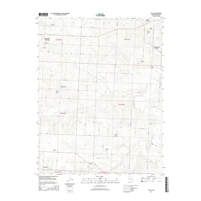
2015 Map of Filley
USGS Topo · Published 2015About this map
El Dorado Springs and the surrounding Cedar County landscape are defined by a network of rural settlements and family-named landmarks established along the regional tributaries. Small communities such as Filley, Willowville, and Hackleman Corner are connected by a grid of county roads, including Airport Rd and Jacks Corner Rd. The terrain is shaped by the winding courses of Alder Creek, Cherry Branch, and Horse Creek, which feed into the larger Cedar Creek. Numerous local burying grounds, such as Pleasant Ridge Cemetery, French Cemetery, and Eslinger Cemetery, provide significant genealogical landmarks for tracing the area's early residents. The northeastern corner of the map features notable elevations including Smith Bluff and the low-lying Bland Hollow near Cedar Springs. This landscape reflects a long-standing agricultural and residential structure where the placement of cemeteries and small crossroads settlements remained central to the community's geography.
Find a feature on this map
47 named features on this map. Tap any name to fly to it.
Don’t see what you’re looking for? This feature index may not catch every label — zoom into the map to look around manually.
Map Details
Editions of this 2015 Filley Map
This is the sole edition of this map. No revisions or reprints were ever made.
Other maps of this area

1886 · Nevada
USGS Topo · 1:125,000

1886 · Stockton
USGS Topo · 1:125,000

1894 · Nevada
USGS Topo · 1:125,000

1937 · Tiffin
USGS Topo · 1:31,680

1938 · Roscoe
USGS Topo · 1:24,000

1939 · Caplinger Mills
USGS Topo · 1:24,000

1939 · Eldorado Springs North
USGS Topo · 1:24,000

1939 · Filley
USGS Topo · 1:24,000

1939 · Eldorado Springs South
USGS Topo · 1:24,000

1940 · Roscoe
USGS Topo · 1:24,000