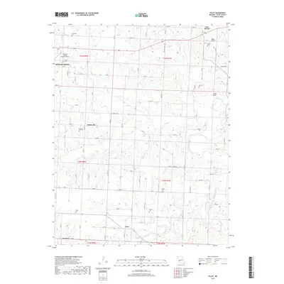
2017 Map of Filley
USGS Topo · Published 2017About this map
Cedar Springs and the small crossroads of Willowville anchor this rural landscape in Cedar County, Missouri. The terrain is defined by a dense network of tributaries including Little Alder Cr and Aves Cr, which carve through the land toward the larger Cedar Creek. The map reveals a pattern of dispersed agricultural settlement, with numerous family and community burial grounds such as Eslinger Cem, Tennessee Cem, and French Cem scattered across the township sections.
Find a feature on this map
48 named features on this map. Tap any name to fly to it.
Don’t see what you’re looking for? This feature index may not catch every label — zoom into the map to look around manually.
Map Details
Editions of this 2017 Filley Map
This is the sole edition of this map. No revisions or reprints were ever made.
Other maps of this area

1886 · Nevada
USGS Topo · 1:125,000

1886 · Stockton
USGS Topo · 1:125,000

1894 · Nevada
USGS Topo · 1:125,000

1937 · Tiffin
USGS Topo · 1:31,680

1938 · Roscoe
USGS Topo · 1:24,000

1939 · Caplinger Mills
USGS Topo · 1:24,000

1939 · Eldorado Springs North
USGS Topo · 1:24,000

1939 · Filley
USGS Topo · 1:24,000

1939 · Eldorado Springs South
USGS Topo · 1:24,000

1940 · Roscoe
USGS Topo · 1:24,000