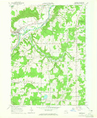
1964 Map of Fillmore
USGS Topo · Published 1965About this map
Genesee River meanders through the heart of Allegany County in this mid-1960s survey, anchoring a rural landscape defined by small hamlets and riverside infrastructure. The village of Fillmore serves as a local hub, featuring institutional landmarks like Central Sch and St Patricks Ch alongside the Erie-Lackawanna Railroad line. The transport network reflects the area's agricultural roots, notably with the naming of Cheese Factory Road and the scattered settlements of Rossburg, Wiscoy, and Short Tract.
Find a feature on this map
62 named features on this map. Tap any name to fly to it.
Don’t see what you’re looking for? This feature index may not catch every label — zoom into the map to look around manually.
Map Details
Editions of this 1964 Fillmore Map
2 editions found
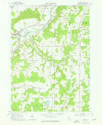
Other maps of this area

1905 · Portage
USGS Topo · 1:62,500

1905 · Nunda
USGS Topo · 1:62,500

1906 · Angelica
USGS Topo · 1:62,500

1916 · Canaseraga
USGS Topo · 1:62,500

1940 · Canaseraga
USGS Topo · 1:62,500

1941 · Angelica
USGS Topo · 1:62,500

1943 · Nunda
USGS Topo · 1:24,000

1943 · Portageville
USGS Topo · 1:24,000

1943 · Pike
USGS Topo · 1:24,000
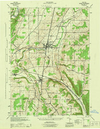
1944 · Nunda
USGS Topo · 1:31,680