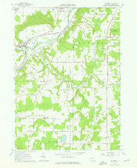
1964 Map of Fillmore
USGS Topo · Published 1976About this map
The Genesee River cuts a prominent path through this 1964 landscape, anchoring a valley filled with dairy farming and small-town infrastructure. The village of Fillmore stands as a local hub, featuring St Patricks Ch, a Wesleyan Ch, and Hank Muller Memorial Field. This era shows a community well-connected by the Erie-Lackawanna Railroad and the specialized dairy economy, evidenced by the Cheese Factory Road to the south.
Find a feature on this map
77 named features on this map. Tap any name to fly to it.
Don’t see what you’re looking for? This feature index may not catch every label — zoom into the map to look around manually.
Map Details
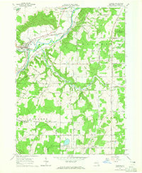
Editions of this 1964 Fillmore Map
2 editions found
Other maps of this area

1905 · Portage
USGS Topo · 1:62,500

1905 · Nunda
USGS Topo · 1:62,500

1906 · Angelica
USGS Topo · 1:62,500

1916 · Canaseraga
USGS Topo · 1:62,500

1940 · Canaseraga
USGS Topo · 1:62,500

1941 · Angelica
USGS Topo · 1:62,500

1943 · Nunda
USGS Topo · 1:24,000

1943 · Portageville
USGS Topo · 1:24,000

1943 · Pike
USGS Topo · 1:24,000
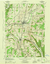
1944 · Nunda
USGS Topo · 1:31,680