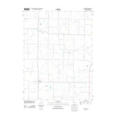
2011 Map of Fillmore
USGS Topo · Published 2011About this map
The town of Fillmore serves as the primary hub of this Andrew County landscape, situated at the intersection of several local routes in a region defined by agricultural aviation and winding creek beds. This 2011 survey illustrates a transition from traditional rural homesteads to modern land use, marked by a high concentration of private aviation facilities including the Lazy W Farms Airport, Cole Landing Strip, and Furst Landing Strip. These airstrips, scattered among the drainages of Arapahoe Creek and Pedlar Creek, highlight the importance of aerial application and private transport in modern Missouri farming communities.
Find a feature on this map
63 named features on this map. Tap any name to fly to it.
Don’t see what you’re looking for? This feature index may not catch every label — zoom into the map to look around manually.
Map Details
Editions of this 2011 Fillmore Map
This is the sole edition of this map. No revisions or reprints were ever made.
Other maps of this area

1885 · Atchison
USGS Topo · 1:125,000

1888 · Atchison
USGS Topo · 1:125,000

1893 · Atchison
USGS Topo · 1:125,000

1924 · St. Joseph
USGS Topo · 1:62,500

1926 · Saint Joseph
USGS Topo · 1:62,500

1926 · Oregon
USGS Topo · 1:62,500

1926 · Maitland
USGS Topo · 1:62,500

1927 · Bolckow
USGS Topo · 1:62,500

1945 · Bolckow
USGS Topo · 1:62,500

1950 · Kansas City
USGS Topo · 1:250,000