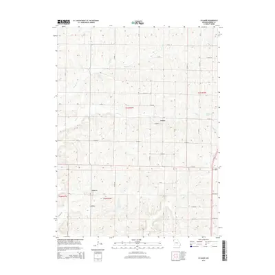
2014 Map of Fillmore
USGS Topo · Published 2014About this map
Fillmore serves as a focal point for this Andrew County agricultural landscape, surrounded by a complex network of county roads and creek valleys. The settlement pattern is defined by the regular township and range grid, where family-owned land is divided by drainage systems like Pedlar Cr and Arapahoe Cr. Small bodies of water including Dysart Lake, Smith Lake, and Cole Lake dot the terrain, often located near the headwaters of minor tributaries. Genealogists will find the Fillmore Cemetery positioned south of the main town site, accessible via Mo-A. The map also captures the smaller locality of Rankin to the northeast, situated along CO Road 53 near the banks of Pedlar Cr. This modern survey reflects the enduring rural character of northwest Missouri, showing how the local road system follows the high ground between the various forks of Newland Cr and Owl Cr.
Find a feature on this map
70 named features on this map. Tap any name to fly to it.
Don’t see what you’re looking for? This feature index may not catch every label — zoom into the map to look around manually.
Map Details
Editions of this 2014 Fillmore Map
This is the sole edition of this map. No revisions or reprints were ever made.
Other maps of this area

1885 · Atchison
USGS Topo · 1:125,000

1888 · Atchison
USGS Topo · 1:125,000

1893 · Atchison
USGS Topo · 1:125,000

1924 · St. Joseph
USGS Topo · 1:62,500

1926 · Saint Joseph
USGS Topo · 1:62,500

1926 · Oregon
USGS Topo · 1:62,500

1926 · Maitland
USGS Topo · 1:62,500

1927 · Bolckow
USGS Topo · 1:62,500

1945 · Bolckow
USGS Topo · 1:62,500

1950 · Kansas City
USGS Topo · 1:250,000