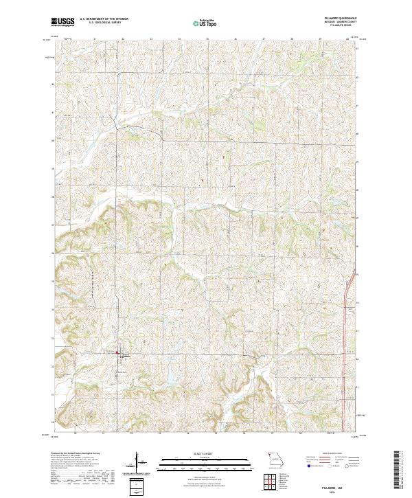
2021 Map of Fillmore
USGS Topo · Published 2021About this map
The town of Fillmore serves as the primary settlement on this Andrew County landscape, situated at the intersection of a sprawling network of county roads. The local geography is defined by a series of north-south running waterways, including Arapahoe Cr, Pedlar Cr, and Lincoln Cr, which carve through the terrain. These drainages are punctuated by small bodies of water such as Dysart Lake and Cole Lake, suggesting a rural economy tied to the land and local hydrology. Genealogists and local historians will find the Fillmore Cem near the town center, a critical landmark for tracing family roots in this corner of Missouri. The grid of roads, ranging from State Hwy Y to numerous numbered routes like Co RD 2 and Co RD 41, illustrates the modern connectivity of this agricultural region while preserving the locations of long-established property lines and water crossings.
Find a feature on this map
64 named features on this map. Tap any name to fly to it.
Don’t see what you’re looking for? This feature index may not catch every label — zoom into the map to look around manually.
Map Details
Editions of this 2021 Fillmore Map
This is the sole edition of this map. No revisions or reprints were ever made.
Other maps of this area

1885 · Atchison
USGS Topo · 1:125,000

1888 · Atchison
USGS Topo · 1:125,000

1893 · Atchison
USGS Topo · 1:125,000

1924 · St. Joseph
USGS Topo · 1:62,500

1926 · Saint Joseph
USGS Topo · 1:62,500

1926 · Oregon
USGS Topo · 1:62,500

1926 · Maitland
USGS Topo · 1:62,500

1927 · Bolckow
USGS Topo · 1:62,500

1945 · Bolckow
USGS Topo · 1:62,500

1950 · Kansas City
USGS Topo · 1:250,000