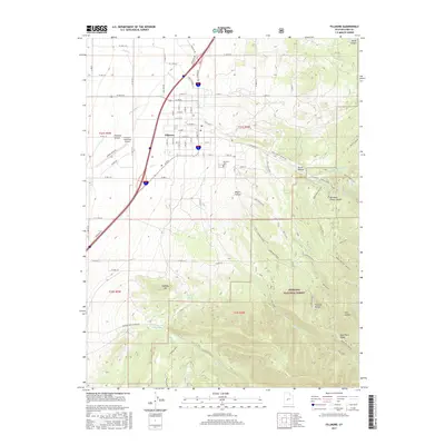
2017 Map of Fillmore
USGS Topo · Published 2017About this map
Fillmore stands at the interface of the eastern Pahvant Valley and the rising slopes of the Pahvant Range. The town's grid is defined by a central corridor along E Center St and Frontage Rd, while its aviation and civic infrastructure is represented by the Fillmore Municipal Airport and the Fillmore Cem. To the east, the terrain ascends sharply into the Fishlake National Forest, where steep canyons and ridges dominate the geography.
Find a feature on this map
96 named features on this map. Tap any name to fly to it.
Don’t see what you’re looking for? This feature index may not catch every label — zoom into the map to look around manually.
Map Details
Editions of this 2017 Fillmore Map
This is the sole edition of this map. No revisions or reprints were ever made.
Other maps of this area

1885 · Beaver
USGS Topo · 1:250,000

1885 · Sevier Desert
USGS Topo · 1:250,000

1953 · Richfield
USGS Topo · 1:250,000

1953 · Delta
USGS Topo · 1:250,000

1958 · Richfield
USGS Topo · 1:250,000

1958 · Delta
USGS Topo · 1:250,000

1960 · Meadow
USGS Topo · 1:24,000

1961 · Fillmore
USGS Topo · 1:24,000

1961 · Mt. Catherine
USGS Topo · 1:24,000

1961 · Richfield
USGS Topo · 1:62,500