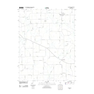
2012 Map of Fillmore
USGS Topo · Published 2012About this map
Fillmore and the surrounding agricultural lands of Montgomery County are documented in this 2012 USGS survey. The landscape is defined by the drainage networks of E Fork Shoal Cr and Dry Fork, which carve through the grid of rural roads such as Toberman Ave and Horse Ave. Small clusters of development persist at Chapman and Van Burensburg, reflecting the enduring settlement patterns of central Illinois.
Find a feature on this map
102 named features on this map. Tap any name to fly to it.
Don’t see what you’re looking for? This feature index may not catch every label — zoom into the map to look around manually.
Map Details
Editions of this 2012 Fillmore Map
This is the sole edition of this map. No revisions or reprints were ever made.
Other maps of this area

1932 · Greenville
USGS Topo · 1:62,500

1939 · Greenville
USGS Topo · 1:62,500

1943 · Greenville
USGS Topo · 1:62,500

1944 · Ramsey
USGS Topo · 1:62,500

1945 · Vandalia
USGS Topo · 1:62,500

1946 · Ramsey
USGS Topo · 1:62,500

1947 · Vandalia
USGS Topo · 1:62,500

1947 · Hillsboro
USGS Topo · 1:62,500

1949 · Hillsboro
USGS Topo · 1:62,500

1958 · Decatur
USGS Topo · 1:250,000