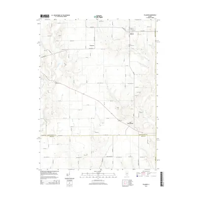
2015 Map of Fillmore
USGS Topo · Published 2015About this map
Fillmore stands as the primary community in this rural Illinois landscape, situated at the intersection of N Main St and E Fillmore St. The surrounding countryside is deeply marked by its nineteenth-century burial grounds and small settlements, including Van Burensburg and the hamlet of Chapman. For family historians, the area is rich with named cemeteries such as Shiloh Presbyterian Cem, Glendale Cem, and Hurricane Cem, which are scattered throughout the agricultural tracts north of the Bond County line.
Find a feature on this map
101 named features on this map. Tap any name to fly to it.
Don’t see what you’re looking for? This feature index may not catch every label — zoom into the map to look around manually.
Map Details
Editions of this 2015 Fillmore Map
This is the sole edition of this map. No revisions or reprints were ever made.
Other maps of this area

1932 · Greenville
USGS Topo · 1:62,500

1939 · Greenville
USGS Topo · 1:62,500

1943 · Greenville
USGS Topo · 1:62,500

1944 · Ramsey
USGS Topo · 1:62,500

1945 · Vandalia
USGS Topo · 1:62,500

1946 · Ramsey
USGS Topo · 1:62,500

1947 · Vandalia
USGS Topo · 1:62,500

1947 · Hillsboro
USGS Topo · 1:62,500

1949 · Hillsboro
USGS Topo · 1:62,500

1958 · Decatur
USGS Topo · 1:250,000