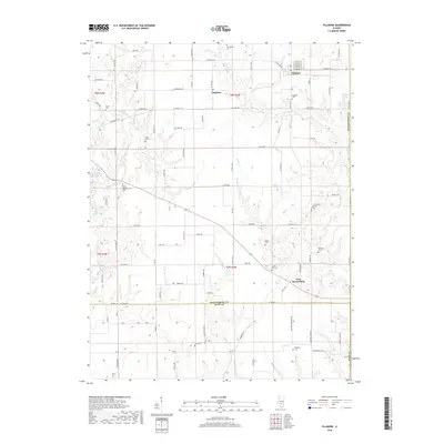
2018 Map of Fillmore
USGS Topo · Published 2018About this map
Fillmore serves as a primary hub in this portion of Montgomery County, where the street grid of E Pine St and E Walnut St transitions into the rural reaches of south-central Illinois. The landscape is deeply carved by the drainage systems of E Fork Shoal Cr and Mud Cr, creating a broken terrain where small settlements like Chapman and Van Burensburg are situated among winding creeks. For those researching local lineages, the map is remarkably dense with family-named burial grounds and historical landmarks. From the Shiloh Presbyterian Cem in the west to Renshaw Cem and Hurricane Cem in the east, these sites offer specific geographic anchors for 19th and 20th-century residents. The boundary between Montgomery Co and Bond Co marks the southern edge of the quadrangle, where the terrain levels out near Lake Branch Ave.
Find a feature on this map
63 named features on this map. Tap any name to fly to it.
Don’t see what you’re looking for? This feature index may not catch every label — zoom into the map to look around manually.
Map Details
Editions of this 2018 Fillmore Map
This is the sole edition of this map. No revisions or reprints were ever made.
Other maps of this area

1932 · Greenville
USGS Topo · 1:62,500

1939 · Greenville
USGS Topo · 1:62,500

1943 · Greenville
USGS Topo · 1:62,500

1944 · Ramsey
USGS Topo · 1:62,500

1945 · Vandalia
USGS Topo · 1:62,500

1946 · Ramsey
USGS Topo · 1:62,500

1947 · Vandalia
USGS Topo · 1:62,500

1947 · Hillsboro
USGS Topo · 1:62,500

1949 · Hillsboro
USGS Topo · 1:62,500

1958 · Decatur
USGS Topo · 1:250,000