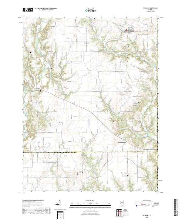
2024 Map of Fillmore
USGS Topo · Published 2024About this map
Fillmore serves as the primary hub in this portion of south-central Illinois, situated just north of the border between Montgomery Co and Bond Co. The landscape is defined by the winding drainages of East Fork Shoal Creek and Piatt Creek, which carve through the agricultural terrain. Small rural clusters like Chapman and Van Burensburg anchor the surrounding countryside, connected by a network of established county roads and named paths such as Fillmore Trl and Settles Trl.
Find a feature on this map
103 named features on this map. Tap any name to fly to it.
Don’t see what you’re looking for? This feature index may not catch every label — zoom into the map to look around manually.
Map Details
Editions of this 2024 Fillmore Map
This is the sole edition of this map. No revisions or reprints were ever made.
Other maps of this area

1932 · Greenville
USGS Topo · 1:62,500

1939 · Greenville
USGS Topo · 1:62,500

1943 · Greenville
USGS Topo · 1:62,500

1944 · Ramsey
USGS Topo · 1:62,500

1945 · Vandalia
USGS Topo · 1:62,500

1946 · Ramsey
USGS Topo · 1:62,500

1947 · Vandalia
USGS Topo · 1:62,500

1947 · Hillsboro
USGS Topo · 1:62,500

1949 · Hillsboro
USGS Topo · 1:62,500

1958 · Decatur
USGS Topo · 1:250,000