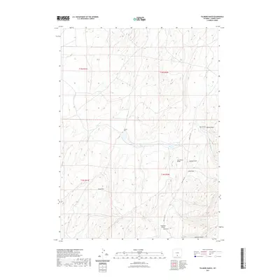
2021 Map of Fillmore Ranch
USGS Topo · Published 2021About this map
Fillmore Ranch sits as the central human anchor in this high-desert landscape of Carbon County, where the topography is defined by the winding course of Fillmore Cr. The terrain is deeply articulated by numerous drainage systems, including Olson Draw and Slide Draw, which carve through the arid plateaus. A significant geographic marker, the Continental Divide, passes through the eastern portion of the map, influencing the local hydrology and the path of Twenty Mile Rd. This remote corner of Wyoming maintains a landscape where water and elevation dictate the utility of the land. Cattle ranching and seasonal grazing are implied by the sparse development and the naming of features like Alamosa Gulch and Hay Gulch. The northeastern corner is notable for the convergence of Jep Canyon and Squaw Canyon, illustrating the erosional forces that have shaped this high-altitude basin.
Find a feature on this map
16 named features on this map. Tap any name to fly to it.
Don’t see what you’re looking for? This feature index may not catch every label — zoom into the map to look around manually.
Map Details
Editions of this 2021 Fillmore Ranch Map
This is the sole edition of this map. No revisions or reprints were ever made.
Other maps of this area

1932 · Savery
USGS Topo · 1:96,000

1940 · Savery
USGS Topo · 1:125,000

1954 · Rawlins
USGS Topo · 1:250,000

1956 · Bridger Pass
USGS Topo · 1:62,500

1957 · Doty Mountain
USGS Topo · 1:62,500

1958 · Rawlins
USGS Topo · 1:250,000

1961 · Pole Gulch
USGS Topo · 1:24,000

1962 · Rawlins
USGS Topo · 1:250,000

1966 · Creston Junction
USGS Topo · 1:24,000

1966 · Seaverson Reservoir
USGS Topo · 1:24,000