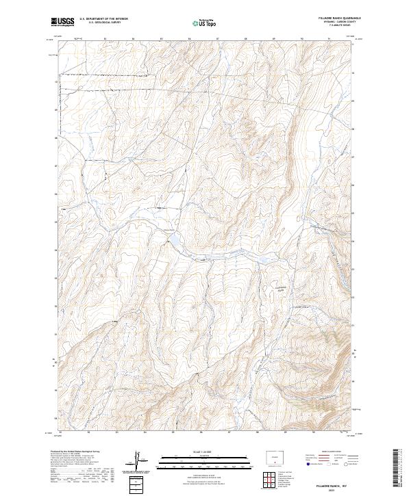
2023 Map of Fillmore Ranch
USGS Topo · Published 2023About this map
Fillmore Ranch and its namesake drainage, Fillmore Creek, anchor this high-altitude landscape in Carbon County. The terrain is defined by the crest of the Continental Divide, which separates the basin floor from more complex relief to the east. Several significant geological features converge here, including the deep incision of Continental Divide Canyon and the branching systems of Snowshoe Canyon and Alamosa Gulch.
Find a feature on this map
15 named features on this map. Tap any name to fly to it.
Don’t see what you’re looking for? This feature index may not catch every label — zoom into the map to look around manually.
Map Details
Editions of this 2023 Fillmore Ranch Map
This is the sole edition of this map. No revisions or reprints were ever made.
Other maps of this area

1932 · Savery
USGS Topo · 1:96,000

1940 · Savery
USGS Topo · 1:125,000

1954 · Rawlins
USGS Topo · 1:250,000

1956 · Bridger Pass
USGS Topo · 1:62,500

1957 · Doty Mountain
USGS Topo · 1:62,500

1958 · Rawlins
USGS Topo · 1:250,000

1961 · Pole Gulch
USGS Topo · 1:24,000

1962 · Rawlins
USGS Topo · 1:250,000

1966 · Creston Junction
USGS Topo · 1:24,000

1966 · Seaverson Reservoir
USGS Topo · 1:24,000