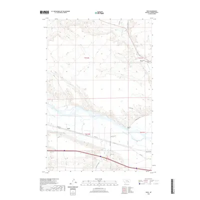
2020 Map of Finch
USGS Topo · Published 2020About this map
The Yellowstone River cuts a wide path through this portion of Rosebud County, defining the agricultural and transport corridor of the region. Along its southern bank, the Yellowstone Canal runs parallel to the water, supporting the small settlement at Finch. This area is characterized by a mix of river bottomlands and the dissected uplands to the north and south, where drainage systems like Big Porcupine Cr and Horse Cr carve into the terrain.
Find a feature on this map
30 named features on this map. Tap any name to fly to it.
Don’t see what you’re looking for? This feature index may not catch every label — zoom into the map to look around manually.
Map Details
Editions of this 2020 Finch Map
This is the sole edition of this map. No revisions or reprints were ever made.
Other maps of this area

1954 · Forsyth
USGS Topo · 1:250,000

1957 · Forsyth
USGS Topo · 1:250,000

1958 · Forsyth
USGS Topo · 1:250,000

1960 · Vananda
USGS Topo · 1:24,000

1960 · Sanders
USGS Topo · 1:24,000

1968 · Donleys Reservoir
USGS Topo · 1:24,000

1968 · Nichols
USGS Topo · 1:24,000

1968 · Finch NE
USGS Topo · 1:24,000

1968 · Finch
USGS Topo · 1:24,000

1971 · Griffin Coulee NE
USGS Topo · 1:24,000