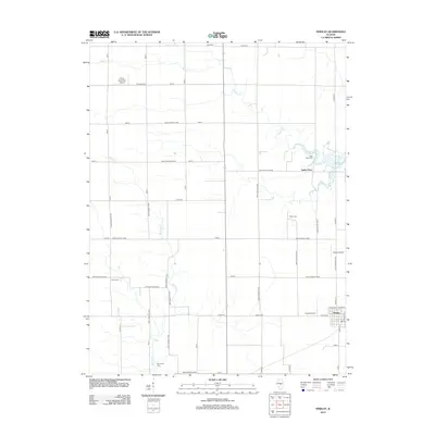
2012 Map of Findlay
USGS Topo · Published 2012About this map
Findlay occupies the southeastern corner of this Shelby County landscape, situated within a dense network of country roads including Findlay Rd and W Division. The eastern boundary is defined by the irregular shoreline and fingers of Lake Shelbyville, where the small settlement of Todds Point sits near the water. The surrounding prairie is primarily agricultural, yet it contains several small private airfields such as Paul E. Kroenlein Airport, Howell Airport, and Enoch Airport, suggesting a legacy of local aviation serving the farming community.
Find a feature on this map
57 named features on this map. Tap any name to fly to it.
Don’t see what you’re looking for? This feature index may not catch every label — zoom into the map to look around manually.
Map Details
Editions of this 2012 Findlay Map
This is the sole edition of this map. No revisions or reprints were ever made.
Other maps of this area

1935 · Sullivan
USGS Topo · 1:48,000

1940 · Sullivan
USGS Topo · 1:62,500

1942 · Shelbyville
USGS Topo · 1:62,500

1946 · Shelbyville
USGS Topo · 1:62,500

1947 · Stewardson
USGS Topo · 1:62,500

1949 · Stewardson
USGS Topo · 1:62,500

1949 · Dalton City
USGS Topo · 1:62,500

1958 · Decatur
USGS Topo · 1:250,000

1961 · Decatur
USGS Topo · 1:250,000

1980 · Middlesworth
USGS Topo · 1:24,000