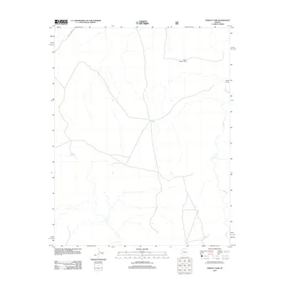
2012 Map of Findlay Tank
USGS Topo · Published 2012About this map
Kanab Cr carves through this high-desert landscape in Mohave County, where water management is the primary evidence of human activity. The map highlights crucial water sources for ranching and local wildlife, including Meeks Reservoir and the eponymous Findlay Tank. These catchment systems are linked by primitive tracks and the more substantial Mount Trumbull Rd, which provides access to the higher elevations of Burnt Canyon Point. The topography is defined by significant drainages like Water Canyon, illustrating the importance of natural runoff in an area where permanent settlements are absent and the economy depends on managing scarce desert resources across the Arizona Strip.
Find a feature on this map
6 named features on this map. Tap any name to fly to it.
Don’t see what you’re looking for? This feature index may not catch every label — zoom into the map to look around manually.
Map Details
Editions of this 2012 Findlay Tank Map
This is the sole edition of this map. No revisions or reprints were ever made.
Other maps of this area

1886 · Kaibab
USGS Topo · 1:250,000

1953 · Grand Canyon
USGS Topo · 1:250,000

1954 · Short Creek SE
USGS Topo · 1:24,000

1954 · Heaton Knolls SE
USGS Topo · 1:24,000

1954 · Fredonia SW
USGS Topo · 1:24,000

1954 · Fredonia
USGS Topo · 1:62,500

1954 · Short Creek
USGS Topo · 1:62,500

1954 · Heaton Knolls
USGS Topo · 1:62,500

1957 · Grand Canyon
USGS Topo · 1:250,000

1957 · Jumpup Canyon
USGS Topo · 1:62,500