
1954 Map of Fredonia
USGS Topo · Published 1959About this map
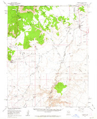
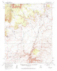
Fredonia serves as the primary settlement on this high-desert landscape during the mid-1950s, situated just south of the Utah border. The terrain is defined by complex drainage systems like Kanab Creek and Lost Spring Wash, which cut through the Kaibab Indian Reservation. The map records a critical water-dependent landscape where numerous named sources such as Wolf Spring, Bitter Seeps, and Quickwater Spring were essential for ranching and local survival. Cultural landmarks like the Pipe Spring National Monument stand alongside industrial markers including a Gravel Pit and a regional Pipeline. This era shows a transition in transportation, noting an active Landing Strip alongside one marked Landing Strip (Aban'd), reflecting changing aviation needs in this corner of the Arizona Strip.
Find a feature on this map
48 named features on this map. Tap any name to fly to it.
Don’t see what you’re looking for? This feature index may not catch every label — zoom into the map to look around manually.
Map Details
Editions of this 1954 Fredonia Map
3 editions found
Other maps of this area

1886 · Kanab
USGS Topo · 1:250,000

1886 · Kaibab
USGS Topo · 1:250,000

1953 · Cedar City
USGS Topo · 1:250,000

1953 · Grand Canyon
USGS Topo · 1:250,000

1954 · Kanab SW
USGS Topo · 1:24,000

1954 · Fredonia NW
USGS Topo · 1:24,000

1954 · Kanab SE
USGS Topo · 1:24,000

1954 · Shinarump NW
USGS Topo · 1:24,000

1954 · Short Creek SE
USGS Topo · 1:24,000

1954 · Fredonia SW
USGS Topo · 1:24,000