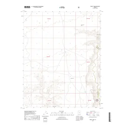
2018 Map of Findlay Tank
USGS Topo · Published 2018About this map
Kaibab National Forest dominates the southeastern quadrant of this terrain, where the high desert meets the carved drainages of the Arizona strip. This 2018 survey documents a remote landscape defined by its critical water catchments, such as Meeks Reservoir, Findlay Tank, and Deer Trail Tank. These managed water sources are essential landmarks in a region of significant elevation changes, punctuated by high-altitude overlooks like Burnt Canyon Point and Bulrush Point. The land is further defined by the deep incisions of Grama Canyon and Water Canyon, leading toward the drainage of Kanab Cr. This map illustrates the intersection of modern infrastructure, represented by Co HWY 109, and the administrative boundaries where Coconino and Mohave counties meet within the federal forest lands.
Find a feature on this map
18 named features on this map. Tap any name to fly to it.
Don’t see what you’re looking for? This feature index may not catch every label — zoom into the map to look around manually.
Map Details
Editions of this 2018 Findlay Tank Map
This is the sole edition of this map. No revisions or reprints were ever made.
Other maps of this area

1886 · Kaibab
USGS Topo · 1:250,000

1953 · Grand Canyon
USGS Topo · 1:250,000

1954 · Short Creek SE
USGS Topo · 1:24,000

1954 · Heaton Knolls SE
USGS Topo · 1:24,000

1954 · Fredonia SW
USGS Topo · 1:24,000

1954 · Fredonia
USGS Topo · 1:62,500

1954 · Short Creek
USGS Topo · 1:62,500

1954 · Heaton Knolls
USGS Topo · 1:62,500

1957 · Grand Canyon
USGS Topo · 1:250,000

1957 · Jumpup Canyon
USGS Topo · 1:62,500