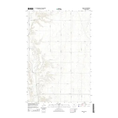
2014 Map of Fingal SW
USGS Topo · Published 2014About this map
The Sheyenne River winds through the western edge of this Barnes County landscape, carving a deep valley that stands in contrast to the surrounding plateau. This 2014 survey reveals a highly organized agricultural grid, where the movement of people and goods is defined by a rigorous network of section lines. The river's path is the only break in this geometry, followed closely by 117th Ave SE as it tracks the edge of the descent.
Find a feature on this map
14 named features on this map. Tap any name to fly to it.
Don’t see what you’re looking for? This feature index may not catch every label — zoom into the map to look around manually.
Map Details
Editions of this 2014 Fingal SW Map
This is the sole edition of this map. No revisions or reprints were ever made.
Other maps of this area

1897 · Tower
USGS Topo · 1:125,000

1897 · Eckelson
USGS Topo · 1:125,000

1953 · Jamestown
USGS Topo · 1:250,000

1953 · Fargo
USGS Topo · 1:250,000

1956 · Fargo
USGS Topo · 1:250,000

1956 · Jamestown
USGS Topo · 1:250,000

1961 · Valley City East
USGS Topo · 1:24,000

1961 · Valley City West
USGS Topo · 1:24,000

1967 · Fingal
USGS Topo · 1:24,000

1967 · Fingal SW
USGS Topo · 1:24,000