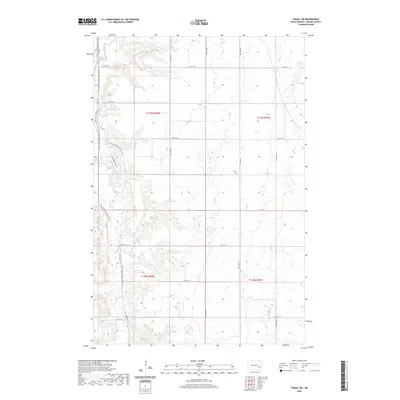
2020 Map of Fingal SW
USGS Topo · Published 2020About this map
The Sheyenne River winds through the southwestern corner of Barnes County, carving a distinct valley into the agricultural plains of North Dakota. This modern survey reflects the rural character of Marsh Township, where residential developments like Sheyenne Valley Est sit in close proximity to the water's edge. A notable corridor for recreation and preservation is the N Country National Scenic Trail, which meanders along the western bluffs, providing a continuous path through the river breaks. The map captures a landscape defined by its grid-pattern section lines, with essential local infrastructure including Kathryn Rd S and Co Rd 21 connecting the highland farms to the valley floor. The absence of heavy industrial or urban growth preserves the focus on the natural drainage patterns and the rural township divisions of t139n r58w and t138n r58w.
Find a feature on this map
18 named features on this map. Tap any name to fly to it.
Don’t see what you’re looking for? This feature index may not catch every label — zoom into the map to look around manually.
Map Details
Editions of this 2020 Fingal SW Map
This is the sole edition of this map. No revisions or reprints were ever made.
Other maps of this area

1897 · Tower
USGS Topo · 1:125,000

1897 · Eckelson
USGS Topo · 1:125,000

1953 · Jamestown
USGS Topo · 1:250,000

1953 · Fargo
USGS Topo · 1:250,000

1956 · Fargo
USGS Topo · 1:250,000

1956 · Jamestown
USGS Topo · 1:250,000

1961 · Valley City East
USGS Topo · 1:24,000

1961 · Valley City West
USGS Topo · 1:24,000

1967 · Fingal
USGS Topo · 1:24,000

1967 · Fingal SW
USGS Topo · 1:24,000