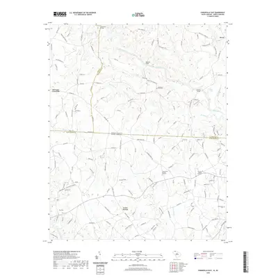
2020 Map of Fingerville East
USGS Topo · Published 2020About this map
The Broad River serves as the defining geographical feature of this borderland region, cutting a winding path between Spartanburg County, South Carolina, and the North Carolina counties of Polk and Rutherford. Historically significant crossings like Pores Ford Bridge and McKinney Bridge facilitate movement across this waterway, which is fed by numerous tributaries including McKinney Cr, Hensons Cr, and Richardson Cr. The landscape is dotted with small agricultural settlements and crossroads communities like Cooley Springs, Fingerville, and McGinnis Crossroads.
Find a feature on this map
153 named features on this map. Tap any name to fly to it.
Don’t see what you’re looking for? This feature index may not catch every label — zoom into the map to look around manually.
Map Details
Editions of this 2020 Fingerville East Map
This is the sole edition of this map. No revisions or reprints were ever made.
Other maps of this area

1907 · Saluda
USGS Topo · 1:125,000

1953 · Charlotte
USGS Topo · 1:250,000

1954 · Charlotte
USGS Topo · 1:250,000

1955 · Knoxville
USGS Topo · 1:250,000

1957 · Knoxville
USGS Topo · 1:250,000

1959 · Lake Lure
USGS Topo · 1:62,500

1959 · Cowpens
USGS Topo · 1:62,500

1960 · Knoxville
USGS Topo · 1:250,000

1960 · Charlotte
USGS Topo · 1:250,000

1961 · Inman
USGS Topo · 1:62,500