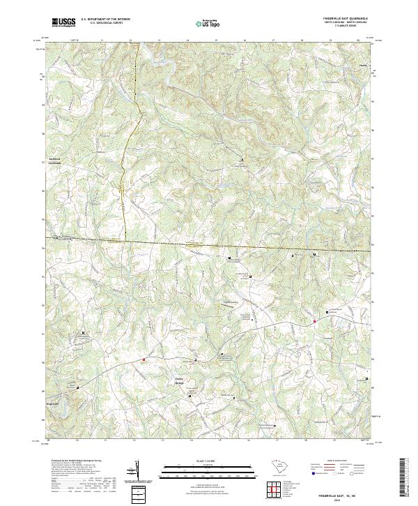
2024 Map of Fingerville East
USGS Topo · Published 2024About this map
Fingerville and Cooley Springs anchor the southern reaches of this landscape where the North Pacolet River and Buck Creek drain toward the state line. The topography is defined by the Red Barn Divide, a central elevation that separates the drainage basins of the Broad River to the north from the creek systems below. This contemporary survey reveals a high density of rural religious and funerary sites, reflecting a deeply rooted community structure. Many of these, such as the Brooklyn Christian Methodist Episcopal Church Graveyard and Shields Memorial and Cem, provide essential anchor points for genealogical research in Spartanburg County. In the north, the Broad River marks the transition into North Carolina, winding past Harris and several small impoundments like Lyles Lake and Hayes Lake. The map details a complex network of local roads and family-named routes that illustrate modern settlement patterns along this historic borderland.
Find a feature on this map
166 named features on this map. Tap any name to fly to it.
Don’t see what you’re looking for? This feature index may not catch every label — zoom into the map to look around manually.
Map Details
Editions of this 2024 Fingerville East Map
This is the sole edition of this map. No revisions or reprints were ever made.
Other maps of this area

1907 · Saluda
USGS Topo · 1:125,000

1953 · Charlotte
USGS Topo · 1:250,000

1954 · Charlotte
USGS Topo · 1:250,000

1955 · Knoxville
USGS Topo · 1:250,000

1957 · Knoxville
USGS Topo · 1:250,000

1959 · Lake Lure
USGS Topo · 1:62,500

1959 · Cowpens
USGS Topo · 1:62,500

1960 · Knoxville
USGS Topo · 1:250,000

1960 · Charlotte
USGS Topo · 1:250,000

1961 · Inman
USGS Topo · 1:62,500