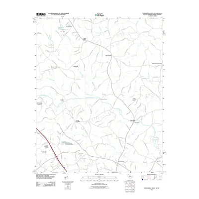
2011 Map of Fingerville West
USGS Topo · Published 2011About this map
Little Africa and New Prospect anchor the southern reaches of this landscape near the border between North and South Carolina. The terrain is defined by the winding course of the North Pacolet River, which is crossed by several historical transit points including Carpenter Bridge, Rutledge Bridge, and Camps Bridge. In the north, the settlement of Sandy Plains sits adjacent to Lake Sandy Plains, while the eastern side of the sheet transitions through Green Creek toward McGinnis Crossroads. This 2011 survey captures a rural region characterized by small community clusters and an extensive network of pond dams, such as the D Honey Incorporated Pond and T Steppe Pond Dam D-3299, illustrating the importance of local water management in the Upstate's agricultural and residential development.
Find a feature on this map
142 named features on this map. Tap any name to fly to it.
Don’t see what you’re looking for? This feature index may not catch every label — zoom into the map to look around manually.
Map Details
Editions of this 2011 Fingerville West Map
This is the sole edition of this map. No revisions or reprints were ever made.
Other maps of this area

1907 · Saluda
USGS Topo · 1:125,000

1953 · Charlotte
USGS Topo · 1:250,000

1954 · Charlotte
USGS Topo · 1:250,000

1955 · Knoxville
USGS Topo · 1:250,000

1957 · Knoxville
USGS Topo · 1:250,000

1959 · Lake Lure
USGS Topo · 1:62,500

1959 · Cowpens
USGS Topo · 1:62,500

1960 · Knoxville
USGS Topo · 1:250,000

1960 · Charlotte
USGS Topo · 1:250,000

1961 · Inman
USGS Topo · 1:62,500