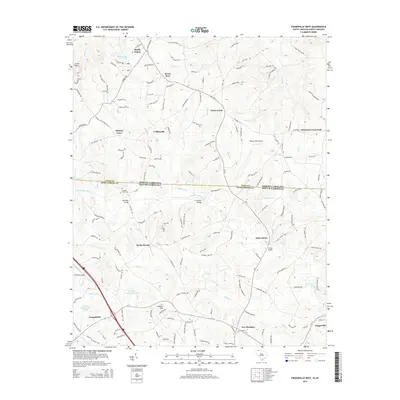
2014 Map of Fingerville West
USGS Topo · Published 2014About this map
Campobello and Fingerville anchor this study of the borderlands between the Carolinas, where the terrain transitions from the rolling foothills near Little Mtn down toward the North Pacolet River. The map highlights a series of bridge crossings essential to local transit, including Rutledge Bridge, Carpenter Bridge, and Camps Bridge. These spans, along with numerous named crossroads like McGinnis Crossroads and Kross Keys, suggest a landscape defined by historically established travel routes and small-scale agriculture.
Find a feature on this map
158 named features on this map. Tap any name to fly to it.
Don’t see what you’re looking for? This feature index may not catch every label — zoom into the map to look around manually.
Map Details
Editions of this 2014 Fingerville West Map
This is the sole edition of this map. No revisions or reprints were ever made.
Other maps of this area

1907 · Saluda
USGS Topo · 1:125,000

1953 · Charlotte
USGS Topo · 1:250,000

1954 · Charlotte
USGS Topo · 1:250,000

1955 · Knoxville
USGS Topo · 1:250,000

1957 · Knoxville
USGS Topo · 1:250,000

1959 · Lake Lure
USGS Topo · 1:62,500

1959 · Cowpens
USGS Topo · 1:62,500

1960 · Knoxville
USGS Topo · 1:250,000

1960 · Charlotte
USGS Topo · 1:250,000

1961 · Inman
USGS Topo · 1:62,500