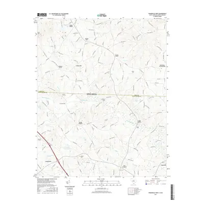
2017 Map of Fingerville West
USGS Topo · Published 2017About this map
The North Pacolet River carves through this borderland region where Spartanburg County meets Polk County at the North Carolina state line. The landscape is defined by small agricultural settlements and rural communities including Campobello, Fingerville, and the historic enclave of Little Africa. The topography is marked by notable elevations such as Little Mtn and August Hill, while the drainage network is fed by numerous named branches including Obed Cr, Bear Cr, and Turkey Cr.
Find a feature on this map
155 named features on this map. Tap any name to fly to it.
Don’t see what you’re looking for? This feature index may not catch every label — zoom into the map to look around manually.
Map Details
Editions of this 2017 Fingerville West Map
This is the sole edition of this map. No revisions or reprints were ever made.
Other maps of this area

1907 · Saluda
USGS Topo · 1:125,000

1953 · Charlotte
USGS Topo · 1:250,000

1954 · Charlotte
USGS Topo · 1:250,000

1955 · Knoxville
USGS Topo · 1:250,000

1957 · Knoxville
USGS Topo · 1:250,000

1959 · Lake Lure
USGS Topo · 1:62,500

1959 · Cowpens
USGS Topo · 1:62,500

1960 · Knoxville
USGS Topo · 1:250,000

1960 · Charlotte
USGS Topo · 1:250,000

1961 · Inman
USGS Topo · 1:62,500