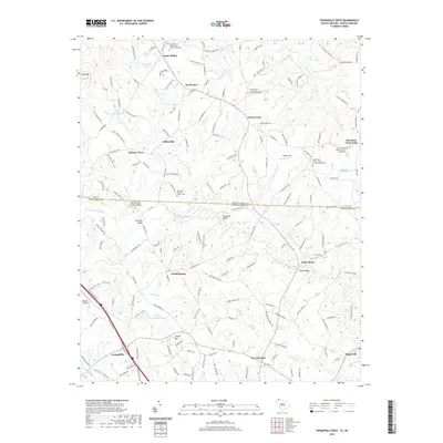
2020 Map of Fingerville West
USGS Topo · Published 2020About this map
The North Pacolet River carves a central path through this landscape, marking the historic boundary between Polk and Spartanburg counties as well as the state line between North and South Carolina. Several early crossing points are noted, including Rutledge Bridge, Carpenter Bridge, and Camps Bridge, which connect rural settlements such as Sandy Plains, Green Creek, and New Prospect. The area is characterized by a high density of country churches, such as Sandy Plains Presbyterian Church and Melvin Hill Church of the Brethren, many of which include adjacent graveyards that provide significant genealogical value for the region.
Find a feature on this map
170 named features on this map. Tap any name to fly to it.
Don’t see what you’re looking for? This feature index may not catch every label — zoom into the map to look around manually.
Map Details
Editions of this 2020 Fingerville West Map
This is the sole edition of this map. No revisions or reprints were ever made.
Other maps of this area

1907 · Saluda
USGS Topo · 1:125,000

1953 · Charlotte
USGS Topo · 1:250,000

1954 · Charlotte
USGS Topo · 1:250,000

1955 · Knoxville
USGS Topo · 1:250,000

1957 · Knoxville
USGS Topo · 1:250,000

1959 · Lake Lure
USGS Topo · 1:62,500

1959 · Cowpens
USGS Topo · 1:62,500

1960 · Knoxville
USGS Topo · 1:250,000

1960 · Charlotte
USGS Topo · 1:250,000

1961 · Inman
USGS Topo · 1:62,500