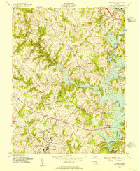
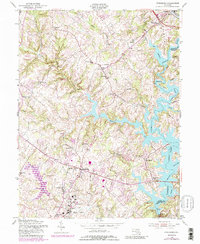
1953 Map of Finksburg
USGS Topo · Published 1955About this map
The North Branch Patapsco River valley in central Maryland is defined by the early 1950s expansion of Liberty Lake, which winds through the landscape east of Gamber and Louisville. This period of hydrological change reshaped the rural character of southeastern Carroll County, where small crossroads like Oklahoma and Sheryettes Corner remained connected by Liberty Road. To the south, the extensive grounds of the Springfield State Hospital dominate the outskirts of Sykesville, while the Baltimore and Ohio RR tracks follow the river's edge.
Find a feature on this map
47 named features on this map. Tap any name to fly to it.
Don’t see what you’re looking for? This feature index may not catch every label — zoom into the map to look around manually.
Map Details
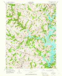
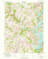
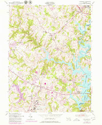
Editions of this 1953 Finksburg Map
5 editions found
Other maps of this area

1892 · Ellicott
USGS Topo · 1:62,500

1893 · Frederick
USGS Topo · 1:125,000

1894 · Ellicott
USGS Topo · 1:62,500

1894 · Frederick
USGS Topo · 1:125,000

1905 · Westminster
USGS Topo · 1:62,500

1906 · Ellicott
USGS Topo · 1:62,500

1908 · Patapsco
USGS Topo · 1:125,000

1909 · Mount Airy
USGS Topo · 1:62,500

1911 · Taneytown
USGS Topo · 1:62,500

1942 · Gettysburg
USGS Topo · 1:125,000