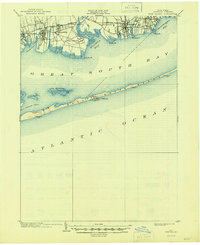
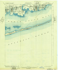
1903 Map of Fire Island
USGS Topo · Published 1946About this map
Great South Beach stretches as a narrow barrier between the Atlantic Ocean and the sheltered waters of Great South Bay in this 1902 survey. The landscape is defined by the critical maritime safety infrastructure of the era, notably the Fire Island L.H. and a string of Life Saving Stations including Lone Hill L.S.S. and Blue Point L.S.S. situated along the outer coast.
Find a feature on this map
33 named features on this map. Tap any name to fly to it.
Don’t see what you’re looking for? This feature index may not catch every label — zoom into the map to look around manually.
Map Details
Editions of this 1903 Fire Island Map
6 editions found
Other maps of this area

1901 · Babylon
USGS Topo · 1:62,500

1901 · Northport
USGS Topo · 1:62,500

1902 · Setauket
USGS Topo · 1:62,500

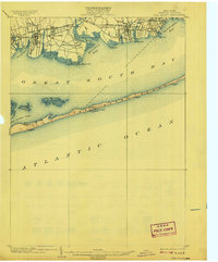
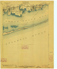
1902 · Fire Island
USGS Topo · 1:62,500

1903 · Babylon
USGS Topo · 1:62,500

1903 · Northport
USGS Topo · 1:62,500

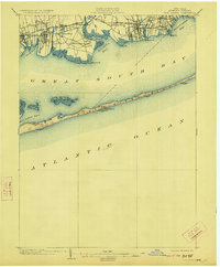
1903 · Fire Island
USGS Topo · 1:62,500

1904 · Setauket
USGS Topo · 1:62,500

1904 · Islip
USGS Topo · 1:125,000

1904 · Moriches
USGS Topo · 1:62,500